Have it delivered hassle-freeBuyer protectionAll Designer items curated by WhoppahDownload the Whoppah App – get alerts & sell with ease.
Have it delivered hassle-free
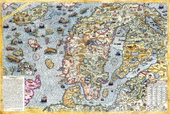
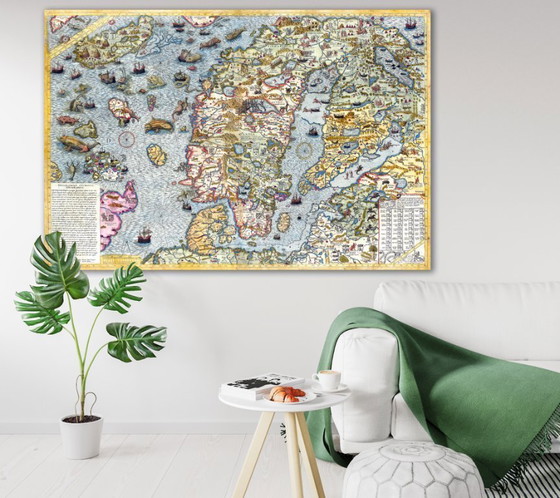
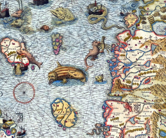

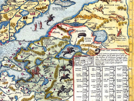

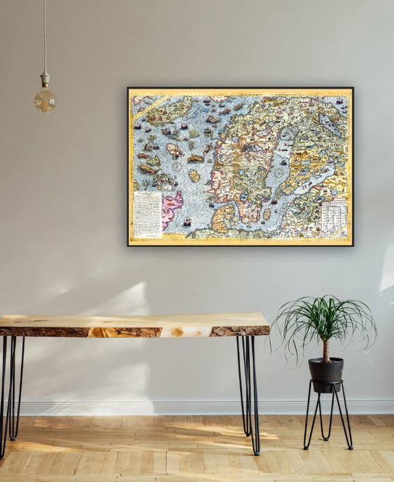


Carta Marina, the first cartographic representation of the Scandinavian peninsula by Olaus Magnus, 1539 - 70×100 cm
€63Bid from €57
Buy with confidence
Shop & pay safely with Buyer ProtectionDesigner items curated by WhoppahWe only pay the seller once you have safely received the itemTrusted payment methods


About this seller
Private sellerMarseille, FranceOn Whoppah since September 2025 • 75 sales
Product description
Museum-quality fine art giclée print (unframed) on heavy matte paper.
28 x 40 inches = 70 x 100 cm
The Carta Marina by the Swedish geographer and historian Olaus Magnus is one of the earliest accurate cartographic representations of the Scandinavian Peninsula. Drawn in Rome in 1539 by one of the most prominent Scandinavian Catholics in high ecclesiastical service, it contains details lacking in many other early maps of the region. Originally intended for his Historia de gentibus septentrionalibus (A Description of the Nordic Peoples), the map was published some fifteen years before the appearance of this monumental work.
Specifications
CategoryPostersConditionExcellentColorsMulti ColorMaterialPaperNumber of items1OrientationLandscapeArt sizeLargeHeight70 cmWidth100 cmSeller locationMarseille, FranceDelivery optionsDelivery or pickup
Discover more
Seller information
About this seller
Private sellerMarseille, FranceOn Whoppah since September 2025 • 75 sales