Have it delivered hassle-freeBuyer protectionAll Designer items curated by WhoppahDownload the Whoppah App – get alerts & sell with ease.
Have it delivered hassle-free
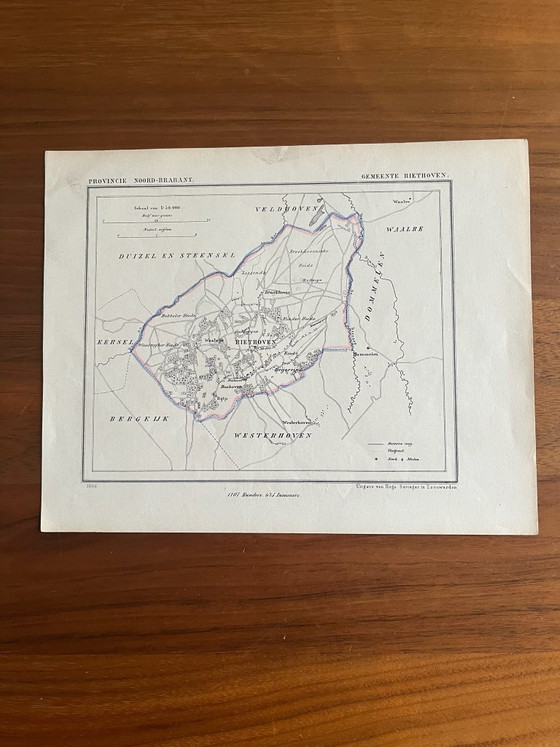
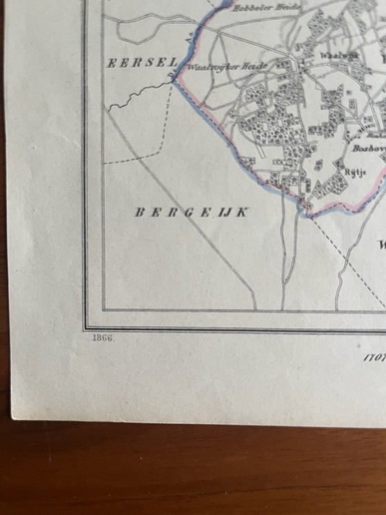
J.Kuyper historical municipal map
€55
Buy with confidence
Shop & pay safely with Buyer ProtectionDesigner items curated by WhoppahWe only pay the seller once you have safely received the itemTrusted payment methods


Private seller: no right of withdrawal, but you get your money back if the item significantly differs from the description. Return policy
About this seller
Private sellerWaalre, NetherlandsOn Whoppah since April 2022 • 4 sales
Product description
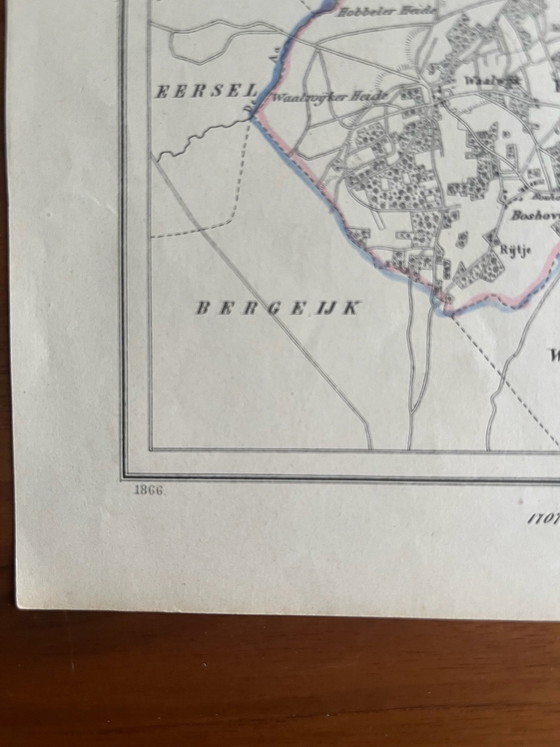
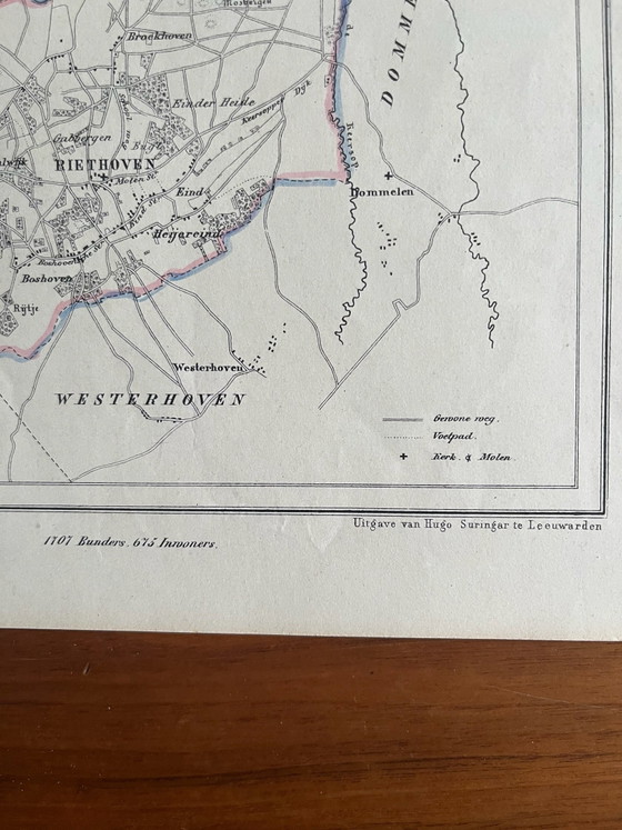
This is an original historical municipal map of Riethoven, produced by J. Kuyper in 1866. The map is a lithograph and is part of the well-known Gemeente-Atlas van Nederland, an important 19th-century cartographic work.
The map is printed on paper and shows the topography of the former municipality of Riethoven in the province of Noord-Brabant, with hand-coloured borders. Published by Hugo Suringar in Leeuwarden, this piece offers a detailed historical overview and is an authentic document of Dutch cartography.
Specifications
CategoryLithographs & printsConditionVery goodColorsBlack, Multi Color, White, Blue, PinkMaterialPaperNumber of items1OrientationPortraitArt sizeSmallHeight24 cmWidth18 cmSigns of usageDiscoloringSeller locationWaalre, NetherlandsDelivery optionsDelivery or pickup
Discover more
Seller information
About this seller
Private sellerWaalre, NetherlandsOn Whoppah since April 2022 • 4 sales