Have it delivered hassle-freeBuyer protectionAll Designer items curated by WhoppahDownload the Whoppah App – get alerts & sell with ease.
Have it delivered hassle-free
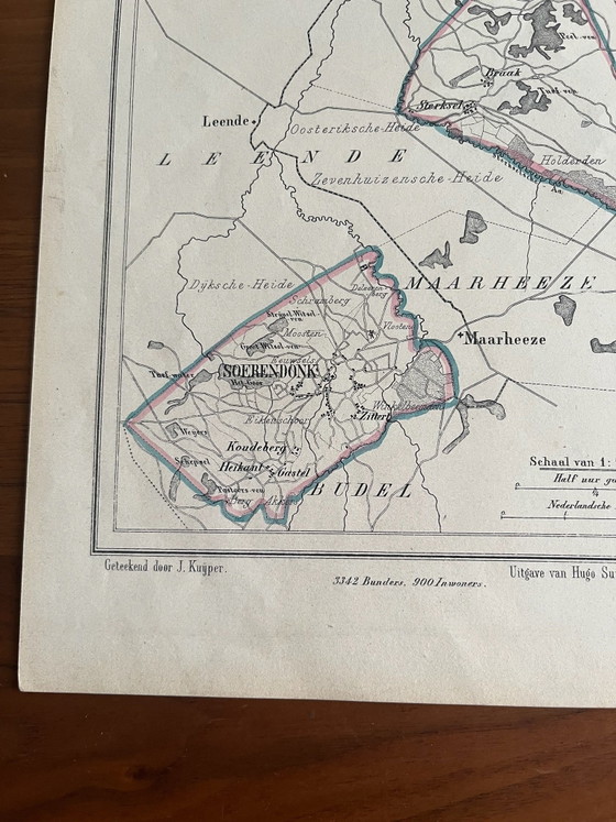
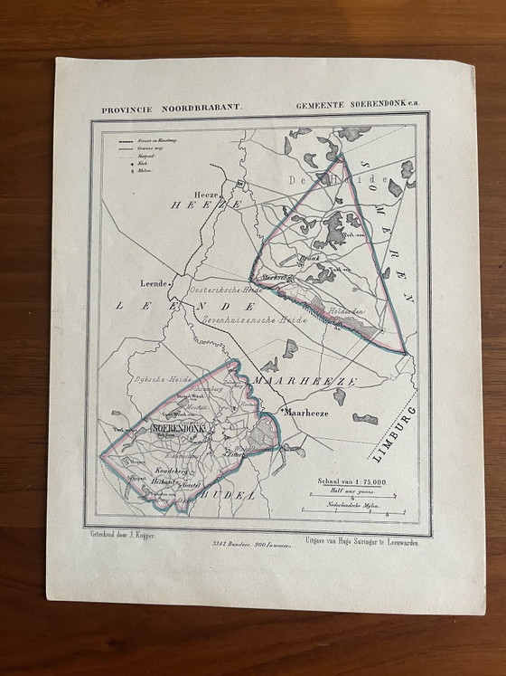
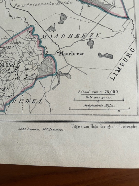
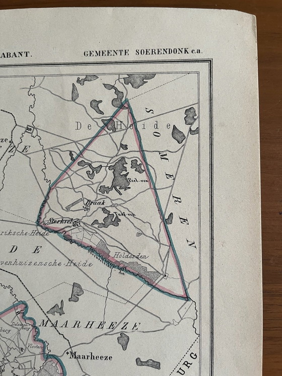
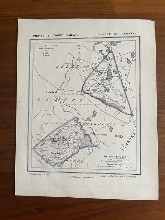
J.Kuyper municipality map
€55
Buy with confidence
Shop & pay safely with Buyer ProtectionDesigner items curated by WhoppahWe only pay the seller once you have safely received the itemTrusted payment methods


Private seller: no right of withdrawal, but you get your money back if the item significantly differs from the description. Return policy
About this seller
Private sellerWaalre, NetherlandsOn Whoppah since April 2022 • 4 sales
Product description
A historical municipal map, drawn by the Dutch cartographer J. Kuyper. This lithographic print shows the municipality of Soerendonk in the province of Noord-Brabant, published by Hugo Suringar in Leeuwarden.
The map is printed on paper and detailed with place names, roads and waterways, with hand-colored borders in red and blue. This type of cartographic work is characteristic of the 19th century and offers a fascinating historical perspective. It is a decorative object that fits well in a classic or eclectic interior, for example, framed in a study or library.
Specifications
CategoryLithographs & printsConditionGoodColorsBeige, Black, Blue, RedMaterialPaperNumber of items1OrientationPortraitArt sizeSmallHeight24 cmWidth18 cmSigns of usageDiscoloring, StainsSeller locationWaalre, NetherlandsDelivery optionsDelivery or pickup
Discover more
Seller information
About this seller
Private sellerWaalre, NetherlandsOn Whoppah since April 2022 • 4 sales