Have it delivered hassle-freeBuyer protectionAll Designer items curated by WhoppahDownload the Whoppah App – get alerts & sell with ease.
Have it delivered hassle-free
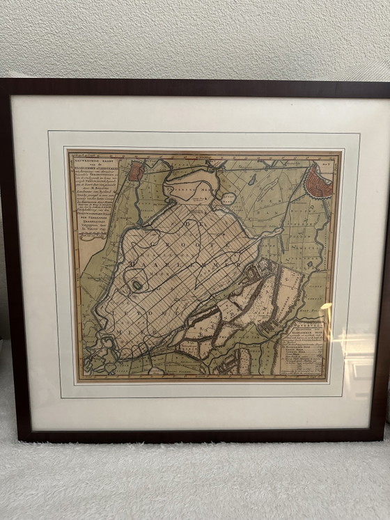
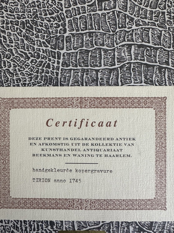
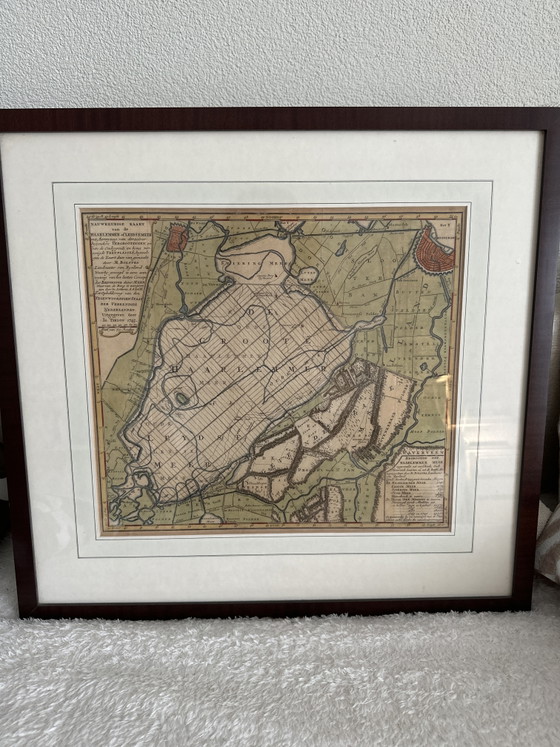
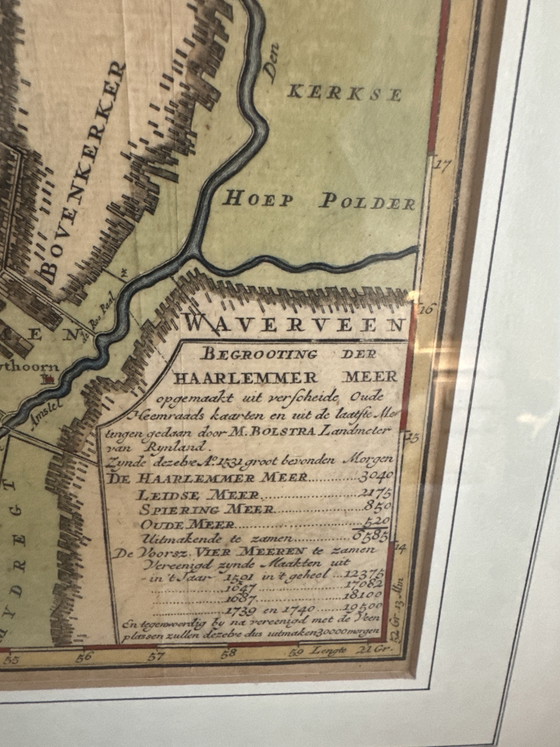
Hand-colored copper engraving Tirion anno 1745 with certificate
€300
Buy with confidence
Shop & pay safely with Buyer ProtectionDesigner items curated by WhoppahWe only pay the seller once you have safely received the itemTrusted payment methods


About this seller
Private sellerProduct description
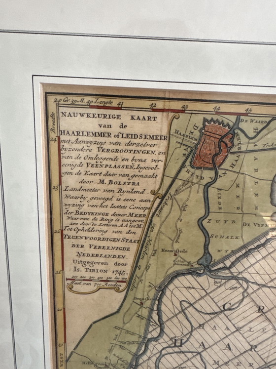
This hand-colored copper engraving by Isaak Tirion from 1745 depicts a detailed map of the Haarlemmermeer and the Leidsemeer. The work is a beautiful example of eighteenth-century cartography and offers a fascinating glimpse into the historical geography of the Netherlands prior to land reclamation. The print is produced on paper and features refined hand coloring that accentuates the various bodies of water and polders. The map is based on the work of surveyor M. Bolstra and published in Amsterdam. The piece is framed in a classic wooden frame with a mat, emphasizing the historical value of the document. A certificate of authenticity is included, confirming its provenance and authenticity. The work is in excellent condition befitting its age, retaining the bright colors and sharp lines of the original engraving. The frame and mat protect the paper and contribute to the refined presentation of this antique piece. This historical map is a valuable addition to a classic or eclectic interior, perfect for a study, library, or hallway. It offers not only a decorative element, but also a tangible piece of Dutch history that invites closer study.
Specifications
ConditionExcellentColorsBeige, Brown, Multi ColorMaterialGlass, Paper, WoodNumber of items1OrientationLandscapeArt sizeMediumHeight53 cmWidth55 cmDepth1 cm
Discover more
Seller information
About this seller
Private sellerZandvoort, NetherlandsOn Whoppah since August 2026 • 0 sales