Have it delivered hassle-freeBuyer protectionAll Designer items curated by WhoppahDownload the Whoppah App – get alerts & sell with ease.
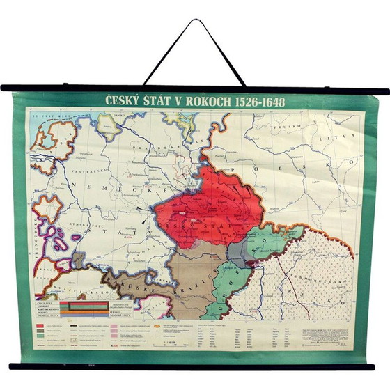
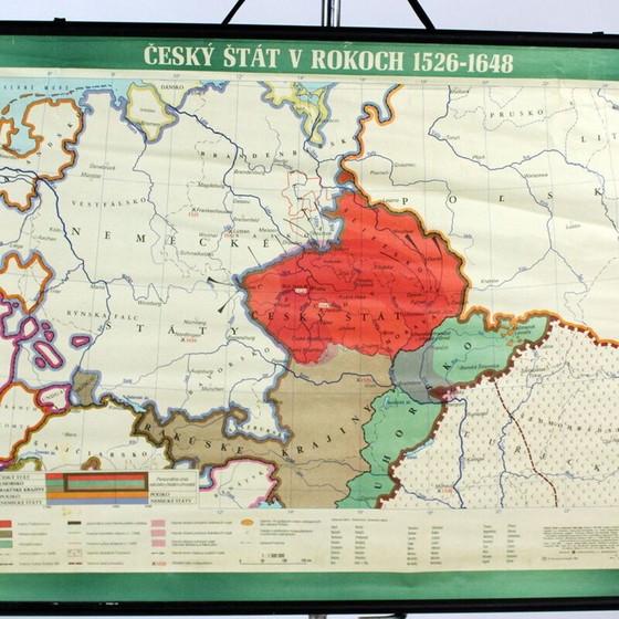
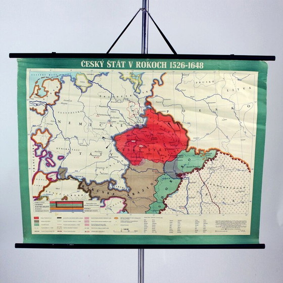
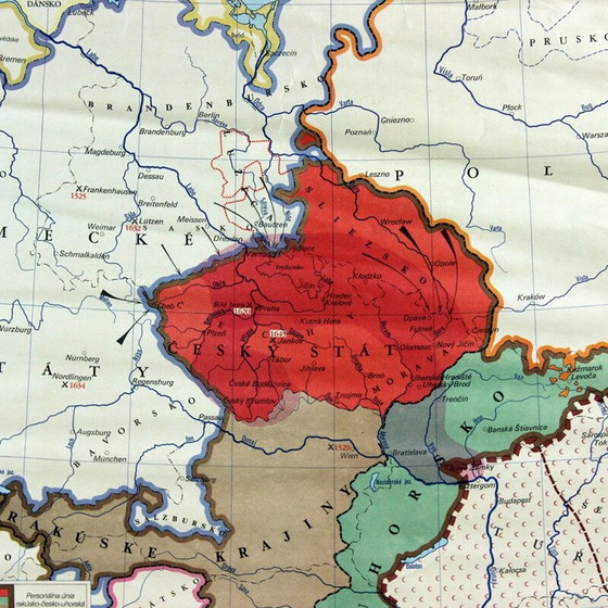
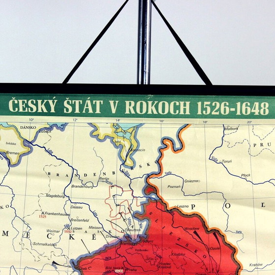
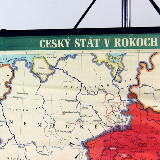
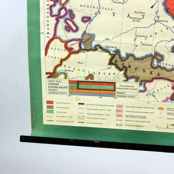
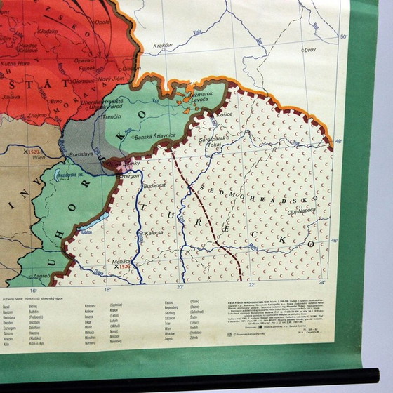

Vintage school card "Czech state 1526-1648" in plastic, Czechoslovakia 1960
€320€150-53%Bid from €120
Buy with confidence
Shop & pay safely with Buyer ProtectionDesigner items curated by WhoppahWe only pay the seller once you have safely received the itemTrusted payment methods


About this seller
ProfessionalZohor, SlovakiaOn Whoppah since October 2024 • 20 sales
Product description
Here is a beautiful vintage school map of "Czech State 1526-1648". The map was produced by a national company Skolske Pomocky (school accessories) in the 1960s in Czechoslovakia. This map was originally used in schools to describe the origins and historical borders of the Czech state, the original Czech Republic, to elementary school students. The map is made of paper on plastic with black wooden slats on the bottom and top. It hangs from an original black string. Very good condition with minor damage. Only minor age patina. Great wall decoration for any interior.
some minor use wear
some minor use wear
Specifications
ConditionVery goodColorsMulti Color, BlackMaterialPaper, WoodNumber of items1Height85 cmWidth112 cmDepth3 cmSigns of usageWrinkles
Discover more
Seller information
About this seller
ProfessionalZohor, SlovakiaOn Whoppah since October 2024 • 20 sales