Have it delivered hassle-freeBuyer protectionAll Designer items curated by WhoppahDownload the Whoppah App – get alerts & sell with ease.
Have it delivered hassle-free
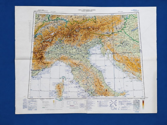
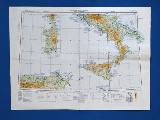
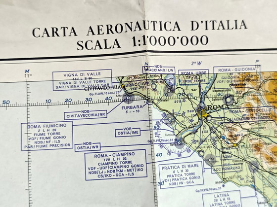
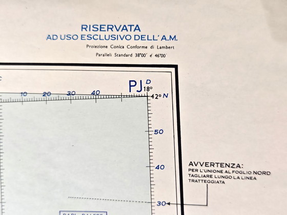
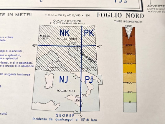
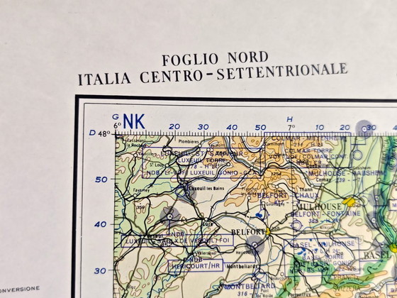
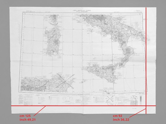
Pair of Italian Military Aeronautical Maps from 1962, North and South Sheets, Large Vintage Geographical Maps
€189Bid from €95
Buy with confidence
Shop & pay safely with Buyer ProtectionDesigner items curated by WhoppahWe only pay the seller once you have safely received the itemTrusted payment methods


About this seller
Private sellerProduct description
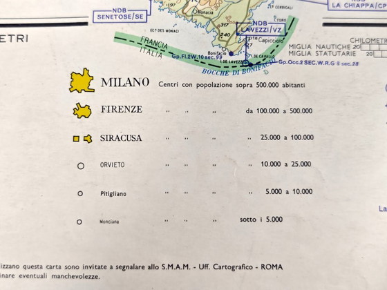
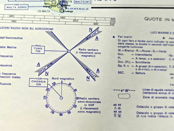
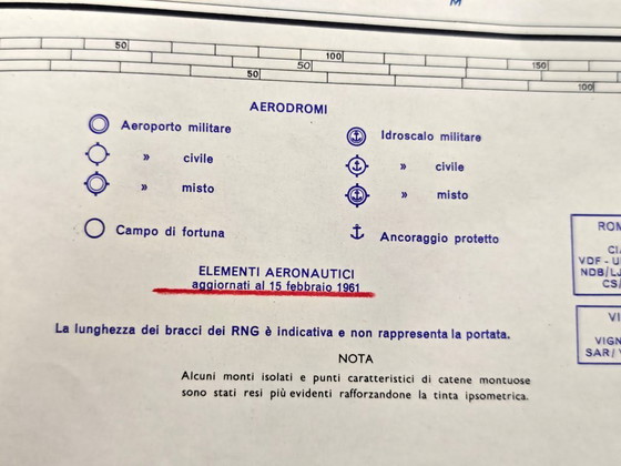
The two large maps, used together, provide a detailed aeronautical and geographical representation of the Italian territory. They are printed at a scale of 1:1,000,000 and feature reliefs, cities, coastlines, coordinates, routes, airports, and numerous technical information for air navigation.
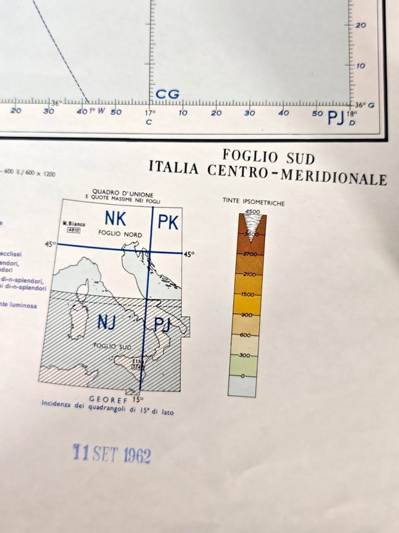
Both are dated September 11, 1962, and bear the following information:
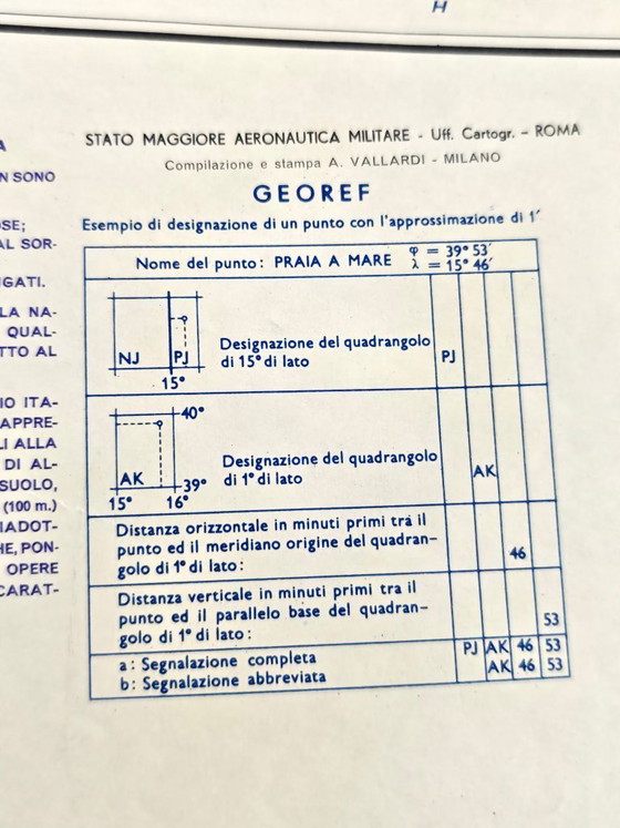
Italian Air Force General Staff – Cartographic Office – Rome
Compiled and printed by A. Vallardi – Milan
The maps are sold exclusively in pairs.
✨ Details
Title: Aeronautical Map of Italy
Sheets Included: North Sheet and South Sheet
Institution: Air Force General Staff – Cartographic Office, Rome
Compiled and Printed: A. Vallardi, Milan
Date: September 11, 1962
Scale: 1:1,000,000
Type: Aeronautical and Geographical Maps
Material: Thick Printed Paper
Colors: Green, Yellow, Orange, Brown, and Blue
Quantity: 2 Maps
Origin: Italy
📐 Dimensions of Each Map
Width: 125 cm / 49.21 in
Height: 92 cm / 36.22 in
These measurements are approximate and may vary slightly.
🔎 Condition
The two maps are in excellent vintage condition, especially considering their age.
The paper is thick and well preserved, while the colors are still bright, sharp, and easily legible. The original conservation folds and light signs of aging are present, especially along the margins and at the folds, consistent with the nature and age of the objects.
The map surface is complete and fully retains its graphic and decorative quality. We recommend carefully examining all photographs, which are an integral part of the description.
Perfect for
Aviation Enthusiasts
Military Cartography Collectors
Vintage Map Collectors
Italian History Enthusiasts
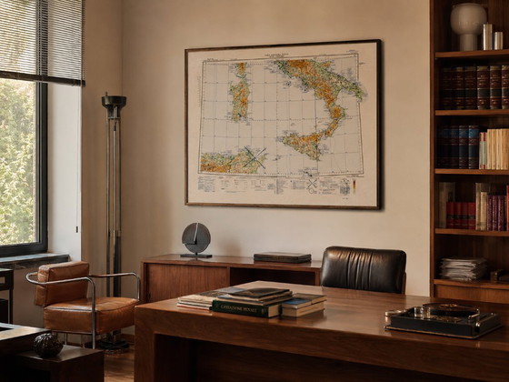
Vintage 1960s Furniture
Industrial or Modernist Interiors
Architecture and Design Studios
Offices, Libraries, and Meeting Rooms
Gallery Walls and Large Compositions
Country Homes and Historic Mansions
Aero Clubs and Flight Schools
Home Staging and Interior Styling
Photography Styling
Film and Theater Sets
Gifts for Pilots and Aviation Enthusiasts
📦 Careful Shipping with Protective Packaging.
The maps will be folded exclusively along the original folds and protected with rigid, durable materials to prevent further folding or damage during shipping.
Delivery times may vary depending on the destination, the courier, and, for countries outside the EU, customs procedures.
Purchases from the United States can be made directly through.
For shipments to other non-EU countries, please contact us before purchasing. We will verify the shipping cost and provide an estimate of any applicable taxes, duties, and customs clearance fees for each item and destination.
Taxes and customs duties are normally the buyer's responsibility and may vary based on the value, product category, country of origin, and local customs regulations. The estimate provided is therefore not definitive.
For any additional information, please do not hesitate to contact us.
Specifications
ConditionExcellentColorsWhiteMaterialPaperNumber of items1OrientationLandscapeArt sizeLargeHeight92 cmWidth125 cm
Discover more
Seller information
About this seller
Private sellerGrugliasco, ItalyOn Whoppah since July 2026 • 0 sales