Have it delivered hassle-freeBuyer protectionAll Designer items curated by WhoppahDownload the Whoppah App – get alerts & sell with ease.
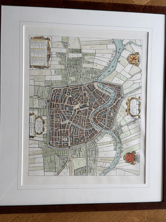
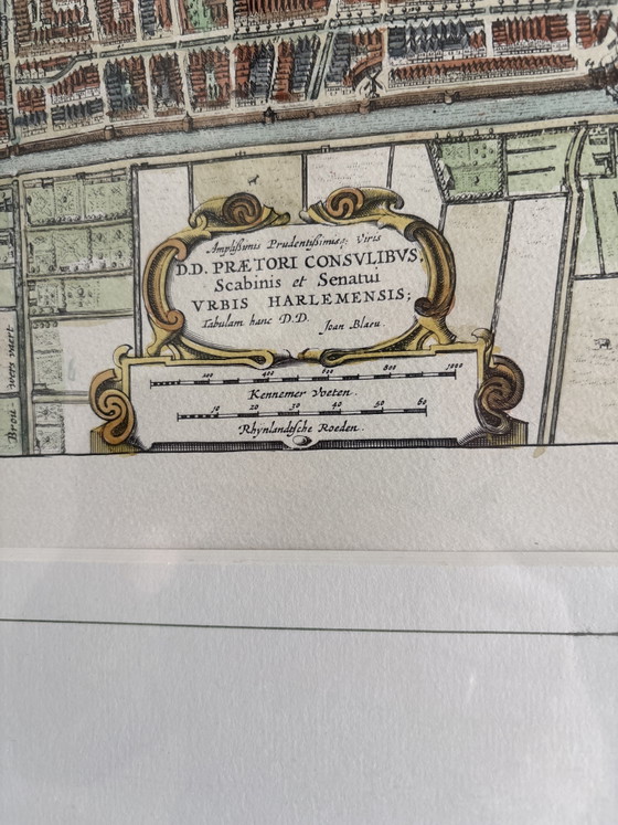
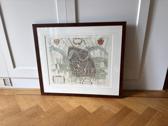
Historical map of Haarlem
€750€450-40%Bid from €400
Buy with confidence
Shop & pay safely with Buyer ProtectionDesigner items curated by WhoppahWe only pay the seller once you have safely received the itemTrusted payment methods


About this seller
Private sellerProduct description
This historical map of Haarlem from 1642 offers a fascinating glimpse into the seventeenth-century urban structure. It features a detailed depiction of the city, complete with fortifications, canals, and surrounding lands, making it a valuable document for enthusiasts of cartography and urban history.
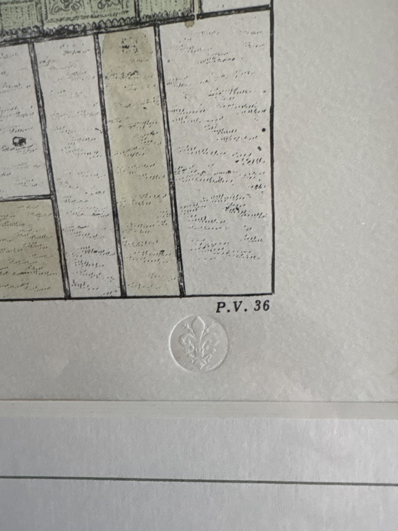
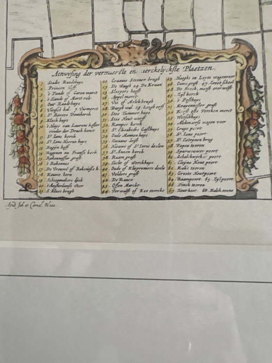
The map is produced on paper and displays a rich palette of subtle colors, including green, red, and beige tones, which accentuate the various city districts and waterways. Measuring 80 centimeters in width and 70 centimeters in height, this work is framed in a classic mahogany frame with a mat, enhancing its presentation. The cartouches contain Latin inscriptions and a legend, characteristic of the cartographic style of that period.
The work is in good condition, befitting its age, with its character and historical value fully preserved. The framing provides a protective and stylish surround for the document. This antique city map forms an intellectual and aesthetic focal point in a classical or eclectic interior. The work comes into its own perfectly in a study, library, or as a conversation piece in a representative reception room.
Specifications
ConditionExcellentColorsRed, Beige, Multi Color, GreenMaterialWood, Glass, PaperNumber of items1Height70 cmWidth80 cm
Discover more
Seller information
About this seller
Private sellerDoorn, NetherlandsOn Whoppah since February 2026 • 1 sale