Have it delivered hassle-freeBuyer protectionAll Designer items curated by WhoppahDownload the Whoppah App – get alerts & sell with ease.
Framed 1570 Netherlands Map by Ortelius, Theatrum Orbis Terrarum, Printed Reproduction on Fabric
€100Bid from €85
Buy with confidence
Shop & pay safely with Buyer ProtectionDesigner items curated by WhoppahWe only pay the seller once you have safely received the itemTrusted payment methods


About this seller
Private sellerProduct description
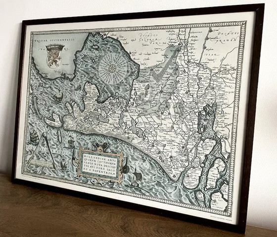
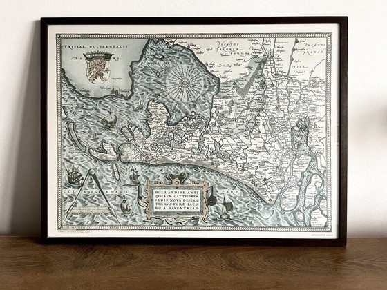
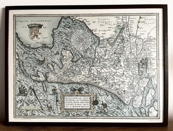
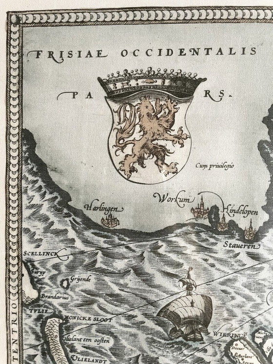
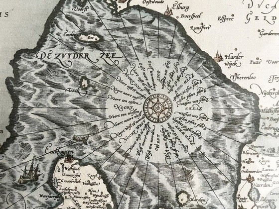
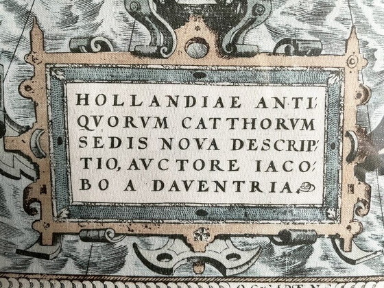
Step back in time with this exquisite reproduction of a 1570 map of the Netherlands by the renowned cartographer Ortelius. This framed piece, printed on fabric, captures the intricate details and artistry of the original Theatrum Orbis Terrarum map, offering a glimpse into the rich history of cartography.
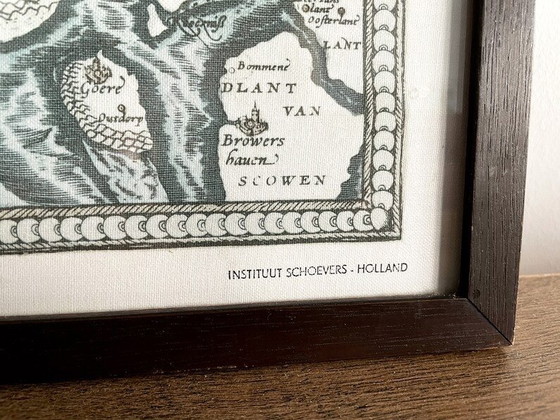
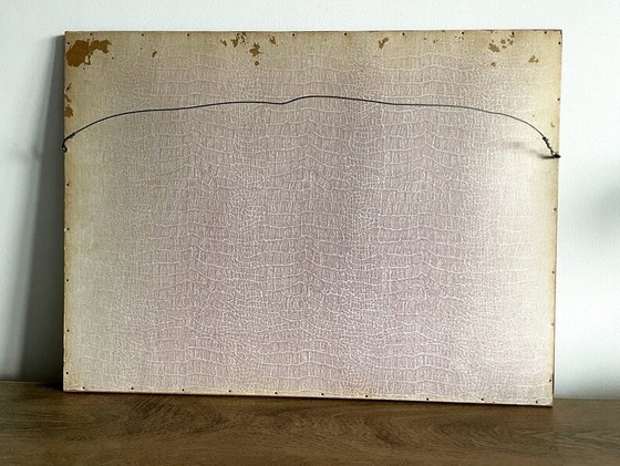
- The map is elegantly framed in a sturdy wooden frame.
- Printed on high-quality fabric.
- 64 cm wide. 47.5 cm tall. Weighs approximately 2.45 kg.
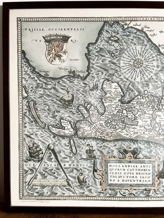
Printed on fabric in Den Haag, the Netherlands, by the firm Van Rijmenam (written in the bottom left), likely some time halfway through the 20th century. It was created for Instituut Schoevers, a well-known Dutch school of commerce (stamp in the bottom right).
This map of the Netherlands features Latin text and all the old Dutch names for cities, rivers, lakes and regions. It is made in colours of light blue and light brown. It is in excellent condition.
Contrary to modern maps of Holland, which are vertically oriented, this old map is horizontally oriented.
Specifications
ConditionExcellentColorsBlack, White, Brown, BlueMaterialWood, TextileNumber of items1Height48 cmWidth64 cmDepth3 cm
Discover more
Seller information
About this seller
Private sellerAmsterdam, NetherlandsOn Whoppah since February 2026 • 1 sale