Have it delivered hassle-freeBuyer protectionAll Designer items curated by WhoppahDownload the Whoppah App – get alerts & sell with ease.
Have it delivered hassle-free
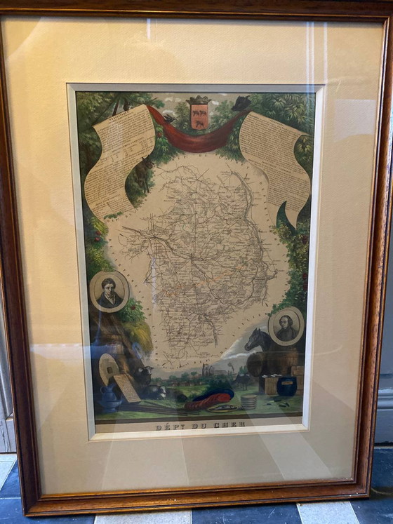
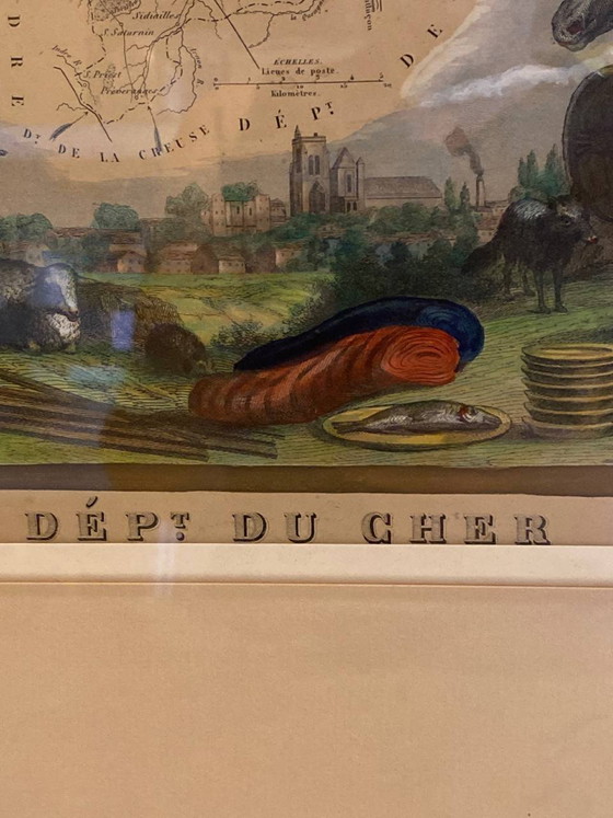
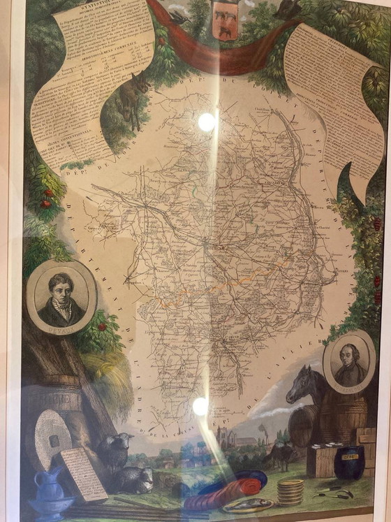
Old illustrated map of the Cher department, after Levasseur, large antique frame, 60 x 45 cm
€149Bid from €134.10
Buy with confidence
Shop & pay safely with Buyer ProtectionDesigner items curated by WhoppahWe only pay the seller once you have safely received the itemTrusted payment methods


About this seller
ProfessionalProduct description
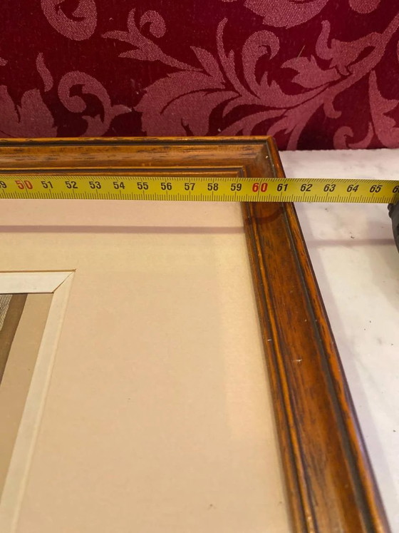
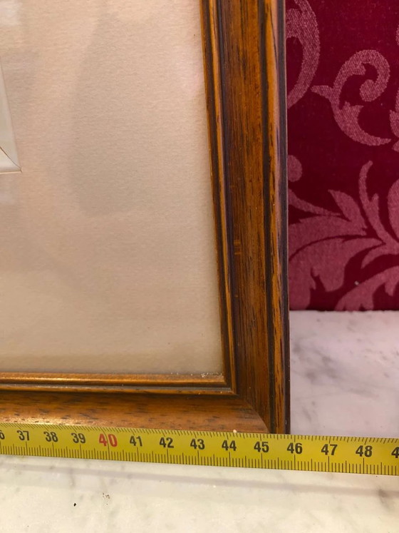
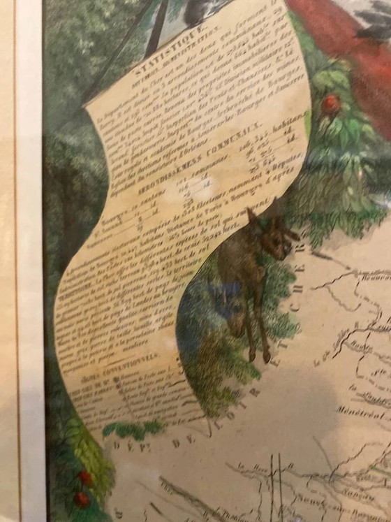
Elegant illustrated map of the Cher department, inspired by the famous decorative maps published in the 19th century by Victor Levasseur. This composition combines cartography with rich regional iconography: portraits of historical figures, coats of arms, landscapes, animals, local products, and statistical panels that offer a true panorama of the department. More than just a map, it is a decorative work where geography blends with history and heritage. The delicate colors and numerous details invite careful observation and make it a particularly attractive piece for an office, a library, or a characterful interior. This print is presented in an old wooden frame with a beautiful patina, made at the beginning of the 20th century. Its simple profile perfectly highlights the engraving and gives it an elegant presence. The mat protects the work and contributes to the overall balance. This is an old re-print based on Levasseur's original map, carefully produced and preserved in a quality antique frame. Frame dimensions: approximately 60 x 45 cm.
Additional details:
- Brand: 20eSiecle
- Designer: Victor Levasseur
- Style: Antique
- Style: Décoratif
- Period: Début XXe siècle
Specifications
ConditionVery goodMaterialPaper, Wood
Discover more
Seller information
About this seller
ProfessionalSaint symphorien des bois, FranceOn Whoppah since August 2026 • 1 sale